The bad news: I did this hike more than a year ago, I think. That means I'm relying on memory. I have MS. You see where I'm going with this? Also, this place was more like two parks in one, for reasons I will soon reveal. I'm therefore going to break this entry down into two entries. Trust me. You'll thank me for that.
So, for this hike, I took my nephew, who at the time was 10 years old. He loves animals of all sorts. Physical exercise? Not so much. But I figured I might be able to nudge him into a loop around this park if I promised a day outside with the possibility of lizards.
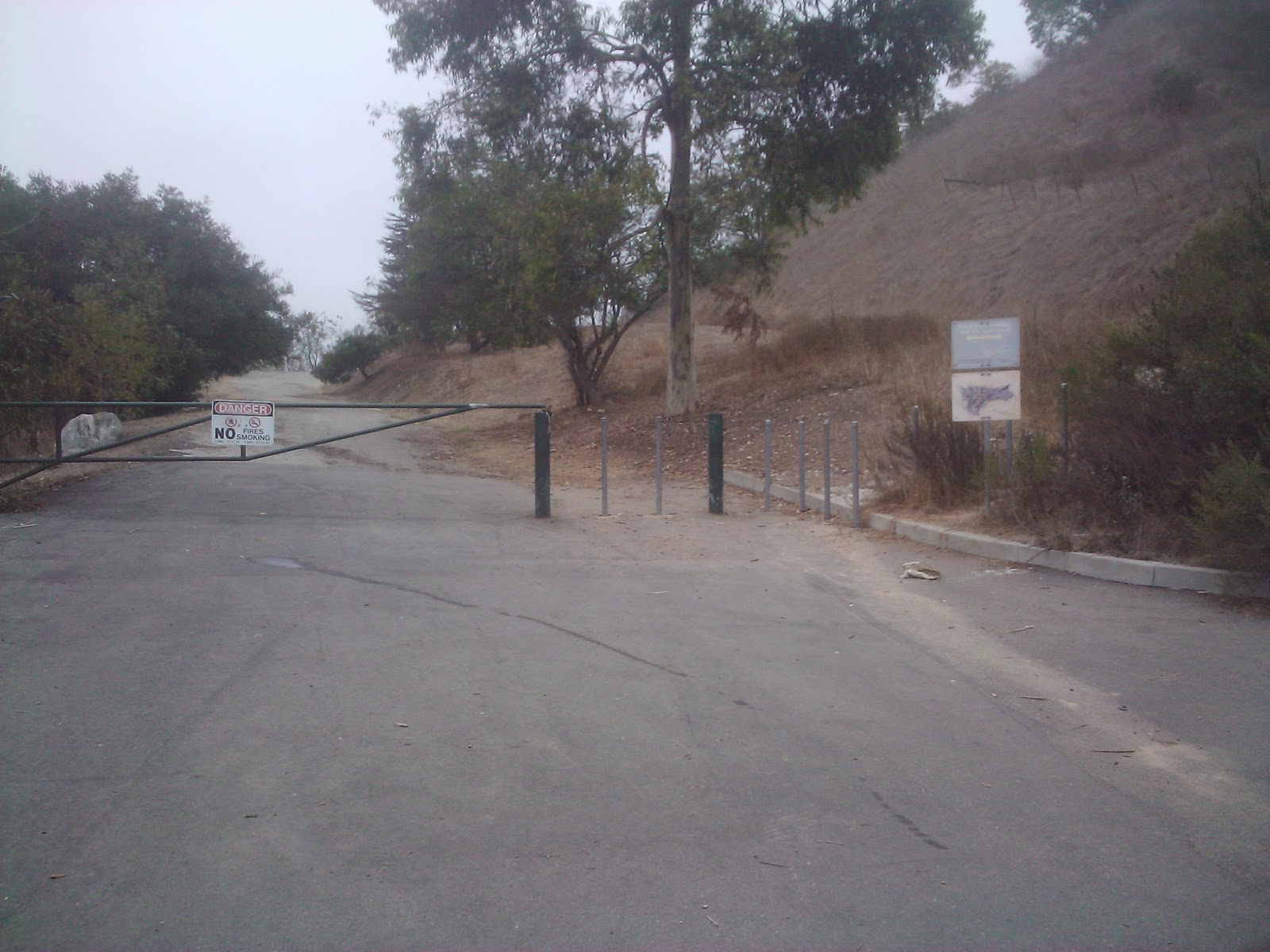
We set out for just-past-Chinatown-and-before-Pasadena, and found the park relatively easily. It's in sort of an odd place off the 110 freeway. I learned from my last hike that I needed a backpack, so I took one but didn't have much to drink. We stopped at a nearby bodega for some coconut water, and then we continued on to what I thought was the gate to the park. Turns out, it was the gate to the Audubon Center at the park (which closes earlier than the park, which is why this noted difference is important). No matter, we had plenty of time. We turned in at the big sign that says "Debs Park," and parked. Here's what that entrance looks like:

Outside that little store/center/place, there was a wall full of donor names, a pretty big conference room that looked like a great place to have meetings, some well-maintained public restrooms, and then a Children's Center. The entrance into the Children's Center is pretty gorgeous. Here, see for yourself:

We started up the slight incline with our binoculars, backpacks, and maps. The trail is super wide and well-maintained (well enough that a car could take it no problem), and it's lined with all sorts of trees. One of the points on the map talked about "Walnut Forests," which I was sure meant that there were walnut trees to be found. Having no clue what a walnut tree looks like (Note to self: Get app on phone that shows what the heck different plants look like so you can identify them while actually hiking.), I took pictures of a few different one, and sought, in vain, for walnuts at every turn.
I should tell you, before I show you more stuff, that this place is huge. About 300 acres huge. (Maybe where you live that's not so huge, but in LA? Insane.) We were set to do a loop and had no idea how far, actually, we'd need to walk. Neither of us really cared since at this point it was an adventure, and we had snacks.
We walked for what felt like about a half-mile on a tree-lined road that went up and down and bunch and looked mostly like this:


The book recommended sticking to the "Walnut Forest Trail" and then switching to the "City View Trail." We did our best, using the map, and were pretty sure we succeeded in following her directions.I didn't know it at the time, but it turns out? This is a walnut tree:

 I mean, come on. If this was the only picture you had of a walnut tree, and then you saw the one above, would you think they were the same?.
Also, did you know that this is what walnuts look like when they're on a tree?
 I had no idea. Hence, of course, I was looking for the wrong "berry." I was searching for the brown-shelled wrinkly-looking thing we break open with nutcrackers during the holidays. Not these green apple-y like things. Damn.
 We carried on past coastal sage brush galore and what I now know to be "toyon," but which I know as "Christmas Berry" bushes. There were a bunch of eucalyptus, too, which I love. We wound around for quite a bit, then stopped for a quick drink and a picture of the park and Audubon Center/parking lot from up above:


Not so much. For the life of me, I have NO CLUE why there were so many signs about swimming. There is NO WAY anyone goes in that pond for aquatic fun. Just no way. I do this for a living, folks. This is not a swimming hole. It's a nice place to hang out and drink some coconut water and watch frogs and turtles and birds, but it's no swimming hole. The color alone is enough to tell you that.


I'll get to that, and the other side of this lake, in Part 2....